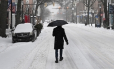
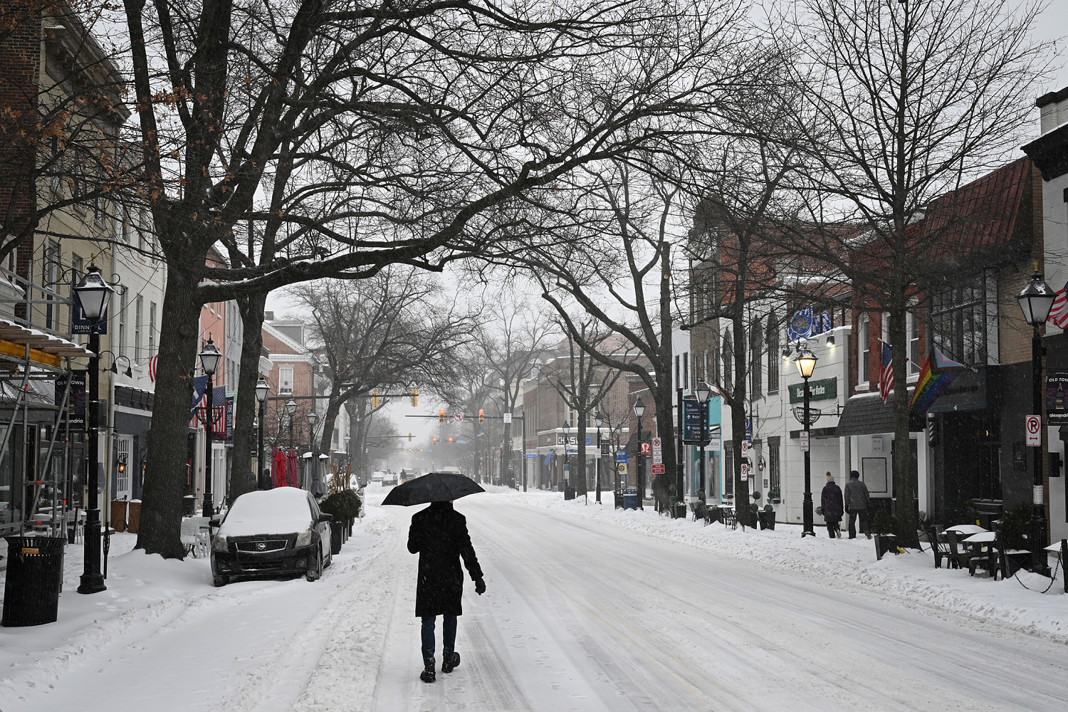
A major storm set to wallop the Southeast begins tonight, days after another weather system brought paralyzing snow and ice to large parts of the United States.
Now, 38 million people are under winter alerts across the Southeast and Mid-Atlantic, including winter storm warnings for parts of North and South Carolina, and a winter weather advisory for Atlanta.
A new round of Arctic air was moving across the country after a low-pressure system formed in the Southern Plains on Thursday. It was moving east and “expected to produce a major winter storm” for the mid-Atlantic states and the Carolinas and Virginia this weekend, the National Weather Service said.
Some forecasters have declared the weather system will become a “bomb cyclone,” a fast-developing storm that’s the winter equivalent of a hurricane, and warn it could bring heavy snow and blizzard conditions.
“The storm, in all its fury in the Carolinas and southern Virginia, would be a formidable event for states in the northern tier from Maine to Michigan and Minnesota, with the combination of significant snow, cold conditions, and blowing and drifting of snow on the ground,” AccuWeather Senior Meteorologist Alex Sosnowski wrote in a forecast.
In and around Charleston, South Carolina, wind chills are likely to be in the single digits Sunday morning, the weather service forecast office there said. 184 million people are under cold alerts from northern Minnesota to South Florida.
Snow was forecast for an area that includes Charleston, as well as Statesboro and Savannah in Georgia, starting Saturday through Sunday morning, with total amounts of 1 to 4 inches, it said.
In an area of central North Carolina, including Raleigh, Fayetteville, Charlotte and Winston-Salem, the forecast was 5 to 9 inches of snow from Friday afternoon through Sunday afternoon.
But where the heaviest snow will fall is “highly uncertain,” the weather service there said.
At least 85 people have died due to weather-related incidents across the country since the last winter storm, which caused devastating damage across large areas, including in Mississippi and Tennessee. More than 200,000 people were still without power on Friday morning, according to PowerOutage.us.
“There’s going to be places that get more snow maybe than what we have forecast, and there will be places that get far less,” National Weather Service meteorologist Nick Petro said in a video briefing Thursday.
North Carolina Gov. Josh Stein issued a new emergency declaration in advance of this storm, in addition to one he issued for the last one, and South Carolina Gov. Henry McMaster extended his declaration through the weekend.
“It looks like it’s going to be snow, not ice, this time,” Stein said Thursday in a visit to a brine facility, where he thanked road workers. “That’s a good thing, but it’s still going to have real impacts on our lives.”
By Sunday, the storm will intensify into a nor’easter as it moves up the East Coast, impacting southeastern Virginia and eastern Cape Cod in Massachusetts — leaving Nantucket with 4 to 8 inches of snow — before heading out to sea.
Along the coast in Virginia, there could be blizzard conditions Saturday night into Sunday, with “near zero visibility” and gusts of 50 mph, the weather service said.
Richmond could get 3½ inches of snow, and Norfolk could get more than 9 inches through Sunday morning, the agency said.
Blizzard conditions are also possible along parts of the North Carolina coast, the weather service said. If blizzard warnings are in fact issued, they will be the first for the western Carolinas since 2010 and the first for the eastern Carolinas since the early 2000s.
Those conditions could happen because the storm is expected to bring a strong onshore flow of wind from the ocean toward land, and when that happens during snowfall, it can create dangerously low visibility, the weather service said.