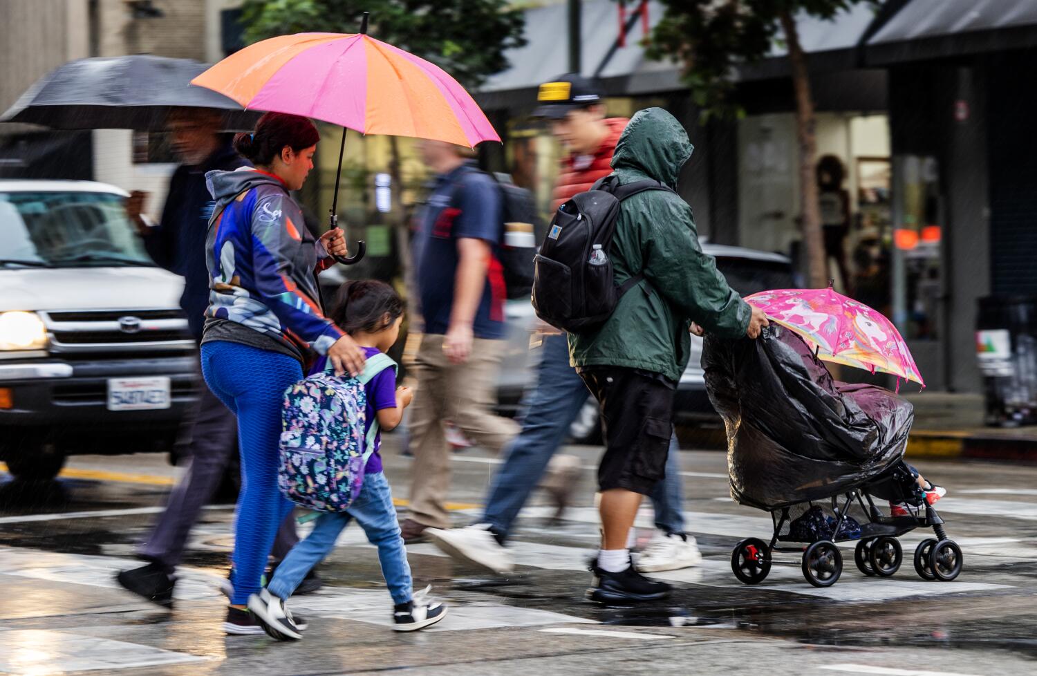
Heavier rain is expected to fall across Los Angeles this weekend, bringing wetter weather and a chance for thunderstorms after spring kicked into full bloom.
“This is when the weather gets a little more wild, technically, because we’re starting to see some more differential heating on the Earth,” said Todd Hall, a meteorologist at the National Weather Service.
Parts of Los Angeles will probably see rain after 11 p.m. Saturday, according to a forecast from the National Weather Service. Scattered showers are anticipated on Sunday afternoon before 2, and there is a potential for thunderstorms in some parts of the city.
There’s a 15% to 25% chance of thunderstorms, according to the forecast discussion from the NWS Los Angeles on Saturday. “Any thunderstorms that develop will likely produce brief heavy rain, gusty outflow winds, small hail and potentially waterspouts or weak, short-lived, tornadoes,” the NWS said.
A ridge of high pressure has already moved east, and now a storm system is arriving in the area.
There’s a chance that the storm system will linger across parts of Los Angeles through Monday, Hall said. Snow levels are expected to drop at high elevations, but some places, such as the northern Ventura County mountains, could have wet snow, so drivers should be cautious.
Gusty winds are expected in portions of the Mojave Desert as well.
“Just like in the ocean, we have waves. The atmosphere behaves the same way,” Hall said.
The total rainfall through Sunday night is anticipated to be between 0.50 and 1.50 inches. On average across L.A., temperatures on Sunday are expected to reach a high of 65 degrees — a full 26 degrees lower than the high recorded a week ago.
Dry and warm weather is expected to return after Monday. Temperatures are forecast to climb to more than 75 degrees later in the week and reach nearly 80 degrees next Saturday.
Heavier rain — including some thunderstorms — is expected in other parts of California such as the counties of San Luis Obispo, Santa Barbara and Ventura, the National Weather Service Los Angeles said Saturday afternoon on X.
Wind gusts north of Point Conception in Santa Barbara County could come with risks such as downed trees or powerlines. Major flooding and debris flows are unlikely, the social media post said.
Up north, the San Francisco Bay Area has already been experiencing the severe weather. Heavy rain hammered the region Saturday, and wind gusts were expected to reach up to 28 mph. The National Weather Service was advising people to allow extra time for travel because of the slippery roads.
In Southern California, the National Weather Service suggested that people be ready to adjust plans and monitor the situation.